Project 01 · Concept Proposal
Riverline District
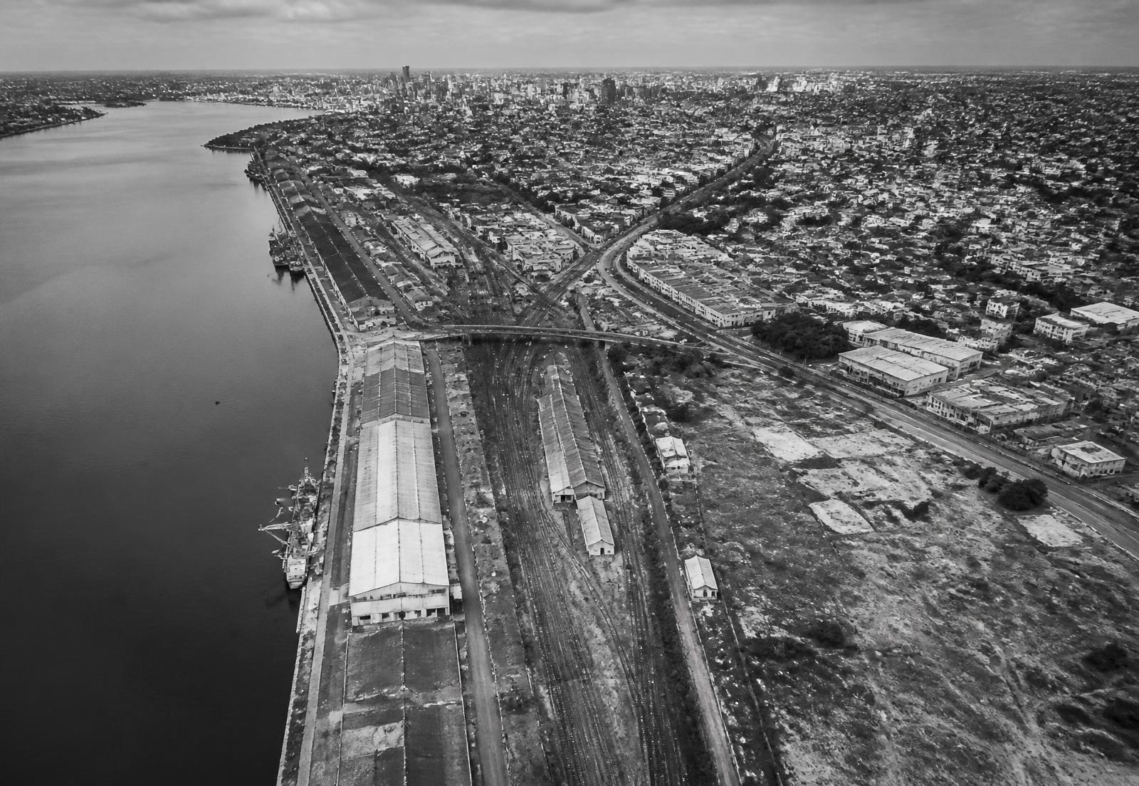
A regeneration framework for a fragmented inner-city river edge, converting service land and vacant blocks into a mixed-tenure district.
- Location
- Inner city, Gauteng
- Scale
- 38 hectares
- Year
- 2025
- Status
- Concept Proposal
- Study area
- 38 ha
- Modelled units
- ≈ 2 400
- Public open space
- 9.1 ha
- Horizon
- 10 years
The study
From context to implementation.
Context
Opportunity
Vision
Masterplan
Urban systems
Housing strategy
Infrastructure
Landscape
Economic impact
Environmental impact
Drawings
Interactive technical set.
Site analysis
Ownership, floodline, servicing capacity and existing fabric.
Masterplan structure
Block grid, river spine and density distribution.
River edge section
Attenuation landscape, promenade and building interface.
Phasing diagram
Four-phase delivery sequence over a ten-year horizon.
Delivery
Implementation timeline.
- Phase 0Months 0–12
Land consolidation, environmental authorisation, framework approval.
- Phase 1Year 1–3
River park first reach, station-edge blocks, initial 600 units.
- Phase 2Year 3–6
Central blocks, secondary green street, commercial interface.
- Phase 3Year 6–10
Northern blocks, sewer and substation upgrade, remaining units.
Estimated budget
- Public realm and river rehabilitationIndicative — order of magnitude only
- Bulk infrastructure upgradesIndicative — subject to capacity study
- Housing deliveryModelled per phase, funder dependent
Budget figures are indicative and modelled for planning purposes only. They are not tendered costs and do not constitute a commitment or an offer.
Contact
Discuss this project.
Framework documentation is available to municipalities, landowners and investment partners on request.